
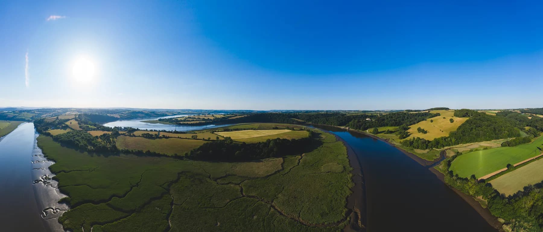
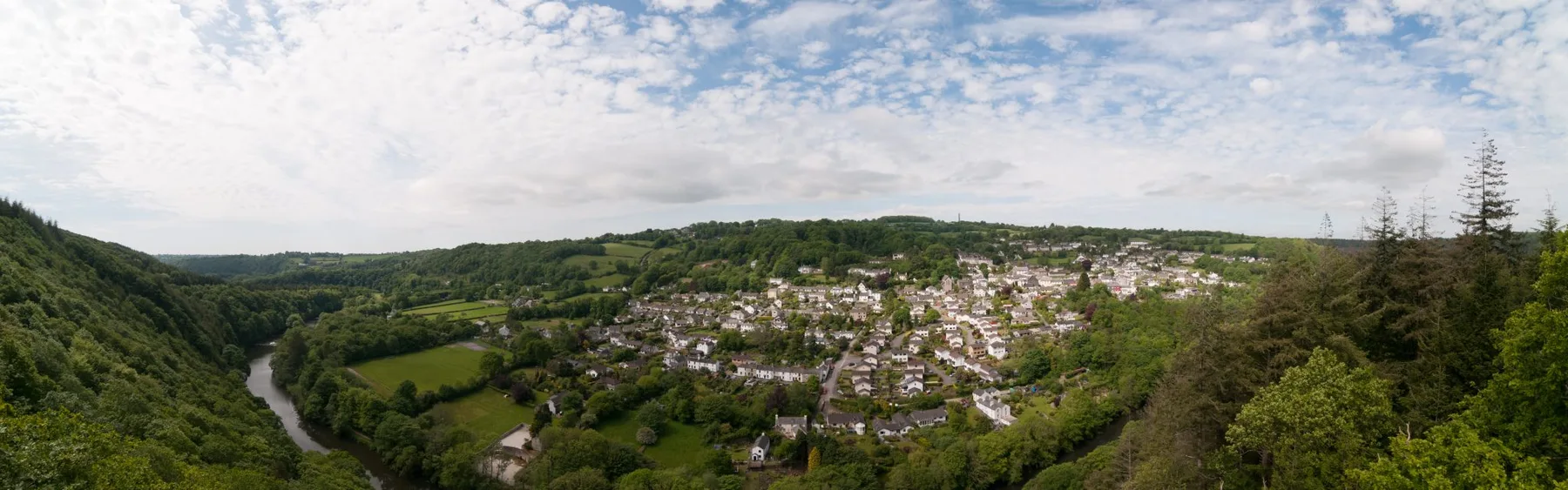
Gunnislake and Morwell Rocks
Around Gunnislake the river runs below steep wooded slopes. From Morwell Rocks, on the Devon side, the view opens across the valley towards the village and the Cornish hills. The panorama below shows how woodland, fields and settlement fit around the river.
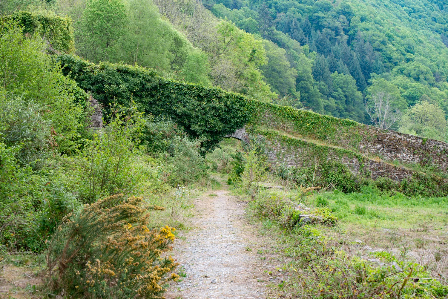
The National Landscape’s Morwell Rocks walk follows parts of an old mineral railway route, with an optional extension towards Morwellham. Check its current route description before setting out: viewpoints above a river valley involve different terrain and hazards from a level riverside path.
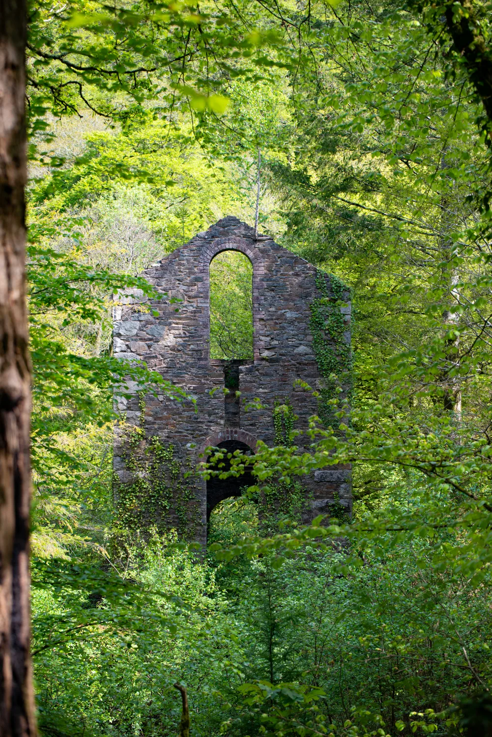
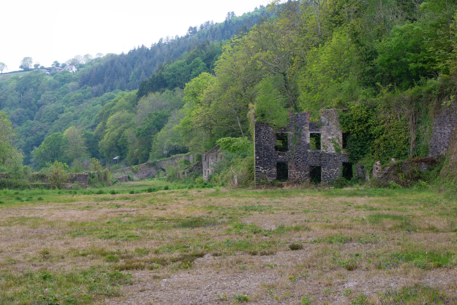
Mining remains in the valley
Engine-house walls, old tracks and other industrial structures remain among the trees. They are part of the Cornwall and West Devon Mining Landscape World Heritage Site. The old photographs show buildings and an inclined plane on the Devon side of the valley, where vegetation has grown around the masonry.
These sites explain much of the landscape seen today. Routes once used to move minerals now form parts of the walking network, but not every track or ruin is open to the public. Use designated paths and respect barriers around shafts and unstable structures.
Wildlife along the river
Different stretches of the Tamar support different wildlife. The non-tidal river has rocky edges and flowing water; downstream, the river broadens into tidal habitat. Woodland and farmland beside it add further places for birds and mammals to feed and shelter.
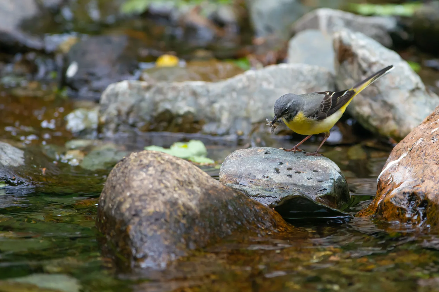
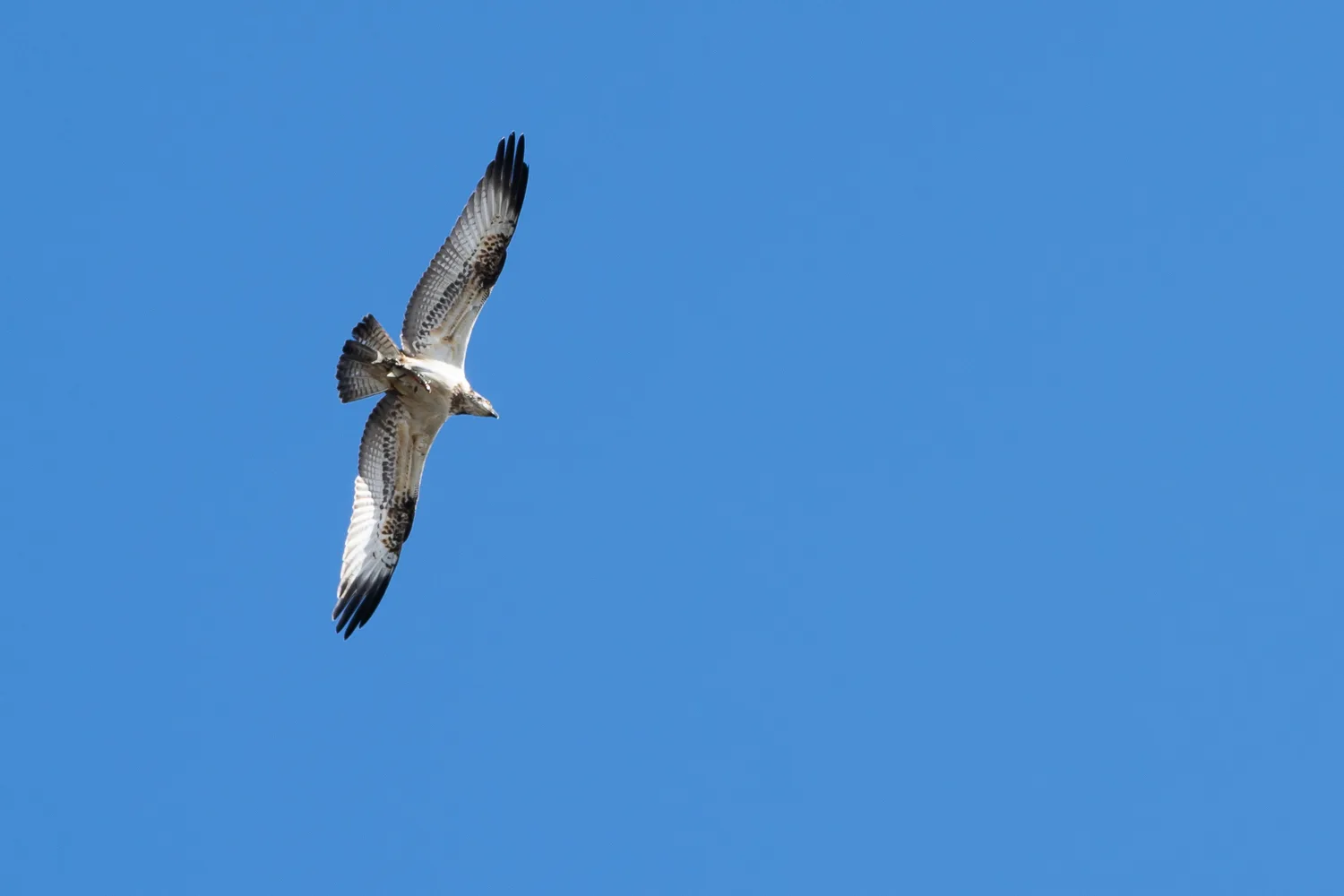
The grey wagtail pictured here was photographed beside a non-tidal stretch of the river. The osprey photograph records a bird passing over the valley with a fish. Such sightings are memorable, but they are occasional: a useful approach is to choose a public vantage point and watch whatever is using that stretch of water, without approaching nests or following animals along the bank.
Choosing a walk
The Tamar Valley National Landscape website publishes routes with distance, terrain and transport information. Its Gunnislake Clitters walk explores mining remains on the Cornish side; the Tamar Trails network provides another starting point on the Devon side.
Choose a route for its terrain as well as its distance. Valley paths can involve steep climbs, while shared trails may also be used by cyclists and horse riders. Keep dogs under control, follow local signs and leave wildlife undisturbed.
Plan your visit
There is no single entrance or access arrangement for the whole valley. Use the official route guides to choose a starting point, check parking and public transport, and understand the terrain. Check for route closures before travelling.
Tamar Valley walking guidesSources checked 7 October 2026. Contact details, services and legal developments can change; follow the linked organisations for current information.